Mapping and Evaluating Irrigation and Drainage Infrastructure
The assignment
The goal was to provide updated spatial information on irrigation and drainage (I&D) to improve the management of I&D schemes in Albania. A preliminary evaluation of schemes covering more than 1,000 ha identified 31 municipalities as agriculture-intensive for this project. The work included:
- Mapping and evaluating I&D infrastructure through orthophoto interpretation and digitalisation, combined with field audits at municipality level.
- Digitalising old topo-geodesic and schematic maps from the archives of the I&D directorates.
- A field audit of all I&D assets in 31 municipalities, with about 60 field operators.
The solution
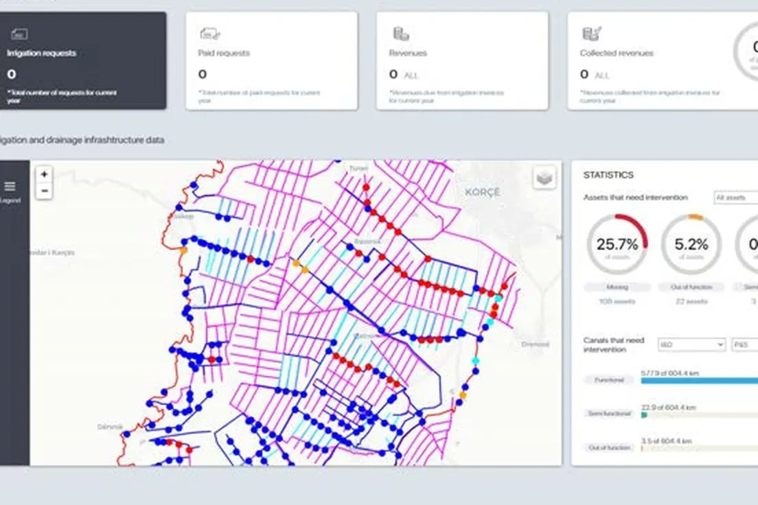
We built a centralised GIS system with I&D spatial information, used by the municipalities and by MoARD and linked to property layers from the Cadastre Office. It includes:
- An Interactive Visualization Dashboard in three versions: MoARD (central-level planning and investment), Municipal (local level) and Public.
- A helpdesk for the GIS platform, with getting-started guides, user manuals, video tutorials, an FAQ and a contact-support channel, so ATTC users can resolve issues raised by municipality users.
- Installation of the GIS platform on ATTC or MoARD servers.
- Guidelines, procedures, training materials and tools for maintaining and updating the system, and I&D maps for the municipalities.
- Training for municipal I&D units and MoARD users.
This system runs on the client's own servers and is not publicly accessible.